More Than Just Taking Out the Rails on Shafter

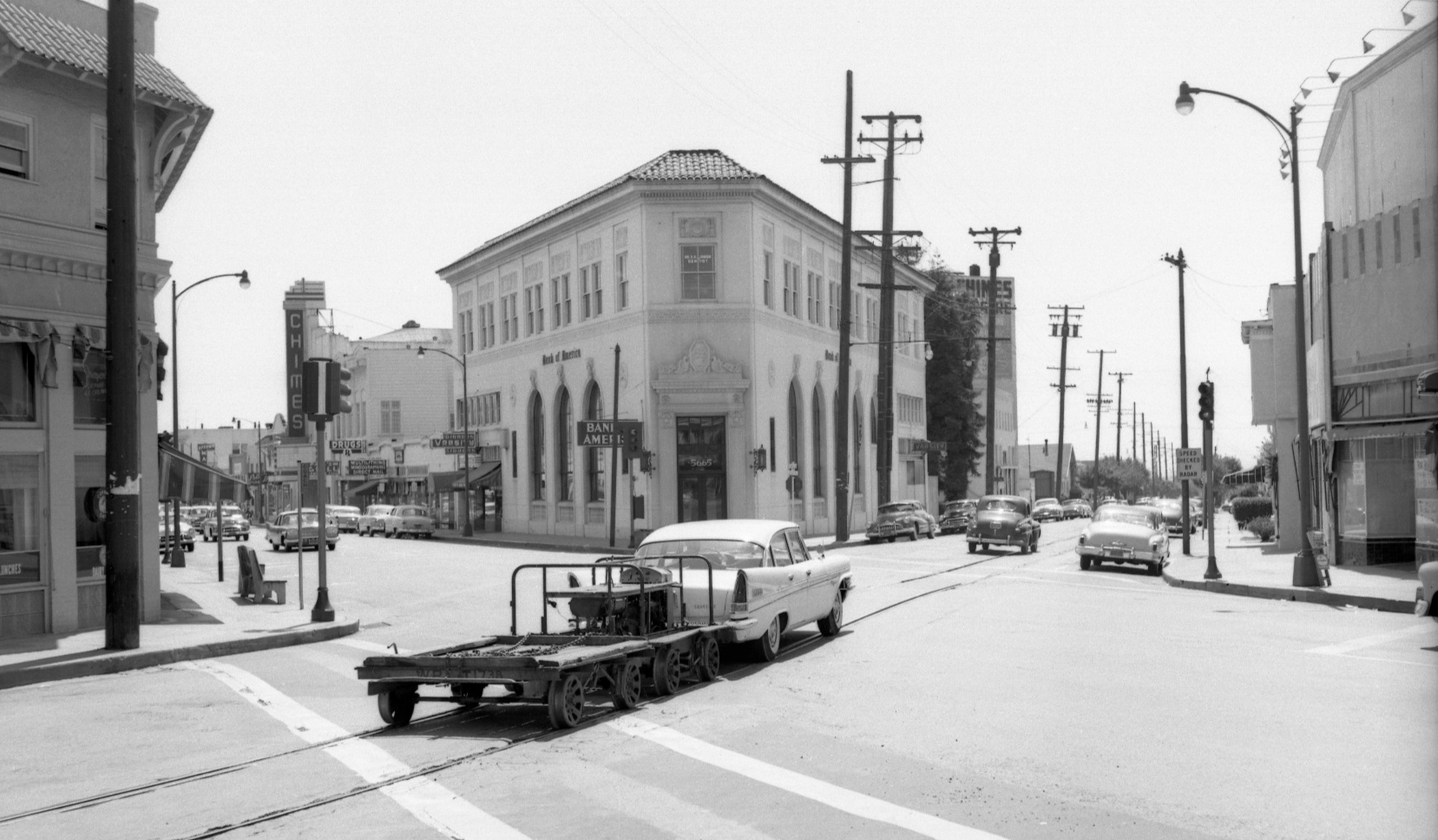
This striking image speaks for itself as to the location, date and the event to take place.
L88-02-Walt Vielbaum Photo, Courtesy BAERA, Western Railway Museum Archives,33648sn , (Image 1 of 14)

The abandonment of the SN right-of-way west of Lafayette on March 1, 1957 and rejection by the Alameda-Contra Costa Transit Board to retain the tracks allowed for the Western Pacific’s commitment to pay for track removal. The images trace this event along Shafter Ave, from College Ave. to Pryal St. on June 12, 1957 and provide informative views of homes and Claremont Middle School. Yellow arrow, SN rail. Full Ref: G4364_B5_A4_1956_R6_no.116
L88-05-RM Towill Photo, Courtesy Earth Sciences and Map Library, University of California, Berkeley, (Image 2 of 14)

The most westerly image begins at the NW corner of Shafter and College, June 12, 1957, northeast view. The original facade of Claremont Middle School is in the background.
L88-10-Vernon Sappers Collection, Courtesy BAERA, Western Railway Museum Archives, 79359sn, (Image 3 of 14)

A west view of the same corner from a southwest view, June 12, 1957, with the College Meat Market sign in full view.
L88-15-Vernon Sappers Collection, Courtesy BAERA, Western Railway Museum Archives, 79357sn, (Image 4 of 14)

Now to the southeast corner, and this southwest view from June 12, 1957 also includes a slice of the Bank of America building on the SW corner of the intersection.
L88-20-Vernon Sappers Collection, Courtesy BAERA, Western Railway Museum Archives, 79356sn, (Image 5 of 14)

Significant tree growth along Claremont Middle School and the first set of residential homes starting with 5729, here obscured by the large tree on the right, made it difficult to document the homes along this stretch. East view, 1945, with SN 603 and 604.
L88-25-Charles Savage Photo, Courtesy BAERA, Western Railway Museum, 10093sn , (Image 6 of 14)

Removal of the trees in the early 1950s made homes such as 5729 and 5733, right to left, respectively, more visible, but mostly ignored by SN photographers until this rail abandonment scene, June 12, 1957, east view. Note the small sign near right margin from 5727 Shafter, then the Gospel Assembly Church, formerly the Olivet Congressional Church.
L88-30-Vernon Sappers Collection, Courtesy BAERA, Western Railway Museum Archives, 79355sn, (Image 7 of 14)

This northeast view from June 12, 1957 provides three pieces of information. First, it shows the homes along Shafter from 5733 to those toward the east. Secondly, it shows part of the rail removal process. Thirdly, it provides a view of the south flank of Claremont Middle School.
L88-35-Vernon Sappers Collection, Courtesy BAERA, Western Railway Museum Archives, 79354sn, (Image 8 of 14)

Continuing on this theme, more views of the homes, track removal process and south flank of Claremont Middle School. Northeast view, June 12, 1957.
L88-40-Vernon Sappers Collection, Courtesy BAERA, Western Railway Museum Archives, 79353sn, (Image 9 of 14)

Another graphic image of the rail removal process, northeast view, June 12, 1957.
L88-45-Vernon Sappers Collection, Courtesy BAERA, Western Railway Museum Archives, 79351sn, (Image 10 of 14)

A continuation of the rail removal process from the previous image, as the school yard comes into view. Northeast view, June 12, 1957.
L88-50-Vernon Sappers Collection, Courtesy BAERA, Western Railway Museum Archives, 79352sn, (Image 11 of 14)

A final west view from this sequence, here at the level of Pryal St. and St. Albert’s Priory and Garden, June 12, 1957. The image also documents ownership of the crane to the Ransome Company.
L88-55-Vernon Sappers Collection, Courtesy BAERA, Western Railway Museum Archives, 79358sn, (Image 12 of 14)

Only two other images documenting the rail removal process west of Lafayette have surfaced. Both show the section of Shafter Ave. between 49th and 51st Street, the undated northeast image shown here being the better and more inclusive of the two.
L88-60-Courtesy BAERA, Western Railway Museum Archives, 79814sn, (Image 13 of 14)

Even more obscure is the view down Shafter between rail removal and Highway 24 and BART construction in the mid-1960s. This northwest view from Shafter, lower left, to Woolsey St., upper right, shows the SN tracks have been removed and filled. The Key System E line train at the intersection of College and Claremont Aves. dates the image to no later than April 1958.
L88-65-Courtesy Western Dominican Province Archives, (Image 14 of 14)