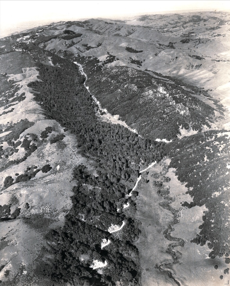
Canyon and Pinehurst
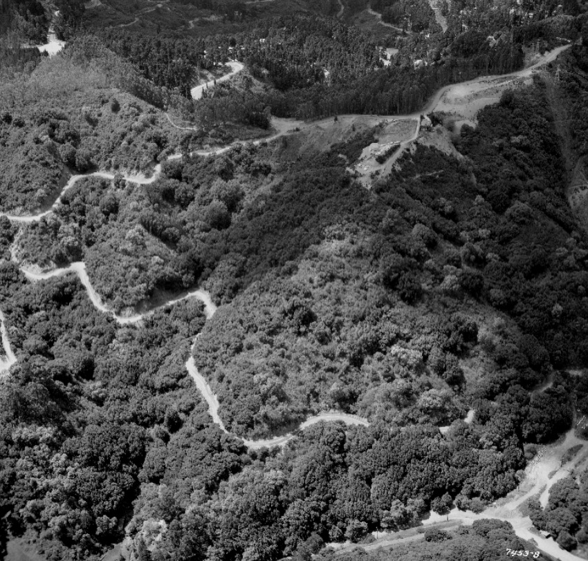
This west view from Apr. 22, 1960 shows Pinehurst Road from its origin at Skyline Boulevard into Redwood Canyon. The most southerly loop on the descent and the northern loop of the road in Redwood Canyon were not captured in this image.
F5-Copyright California Department of Transportation, 7453-8, (Image 1 of 12)

Detail of F5 reveals the entire SN Eastport area cleared, but prior to exposing the San Leandro Creek. Note the site of the former trestle over Pinehurst Road. Chris Price of Canyon noted that the silver reflective objects are beehives that were kept by Les Garibaldi, a bee keeper with his warehouse on the drive that is now the lower entrance to the Huckleberry trail. West view, Apr. 22, 1960.
F10-Copyright California Department of Transportation, Detail 7453-8 , (Image 2 of 12)
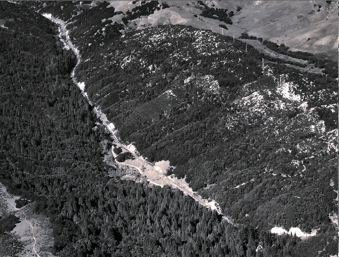
Detail of F5 reveals the portal and above it the guardrail on Pinehurst Road that marks this spot today. Garibaldi kept bees in Canyon until about 1972, and then retired up in Arnold. West view, Apr. 22, 1960.
F15-Copyright California Department of Transportation, Detail 7453-8 , (Image 3 of 12)
A rarity found in F5 is that it also shows the approach of the SN right-of-way to the portal in Shepherd Canyon and the intersection with Saroni Drive. Compare with E75 in the Shepherd Canyon section. In effect, F5 provides an image of the two ends of the 3200 foot tunnel. West view, Apr. 22, 1960.
F20-Copyright California Department of Transportation, Detail 7453-8, (Image 4 of 12)
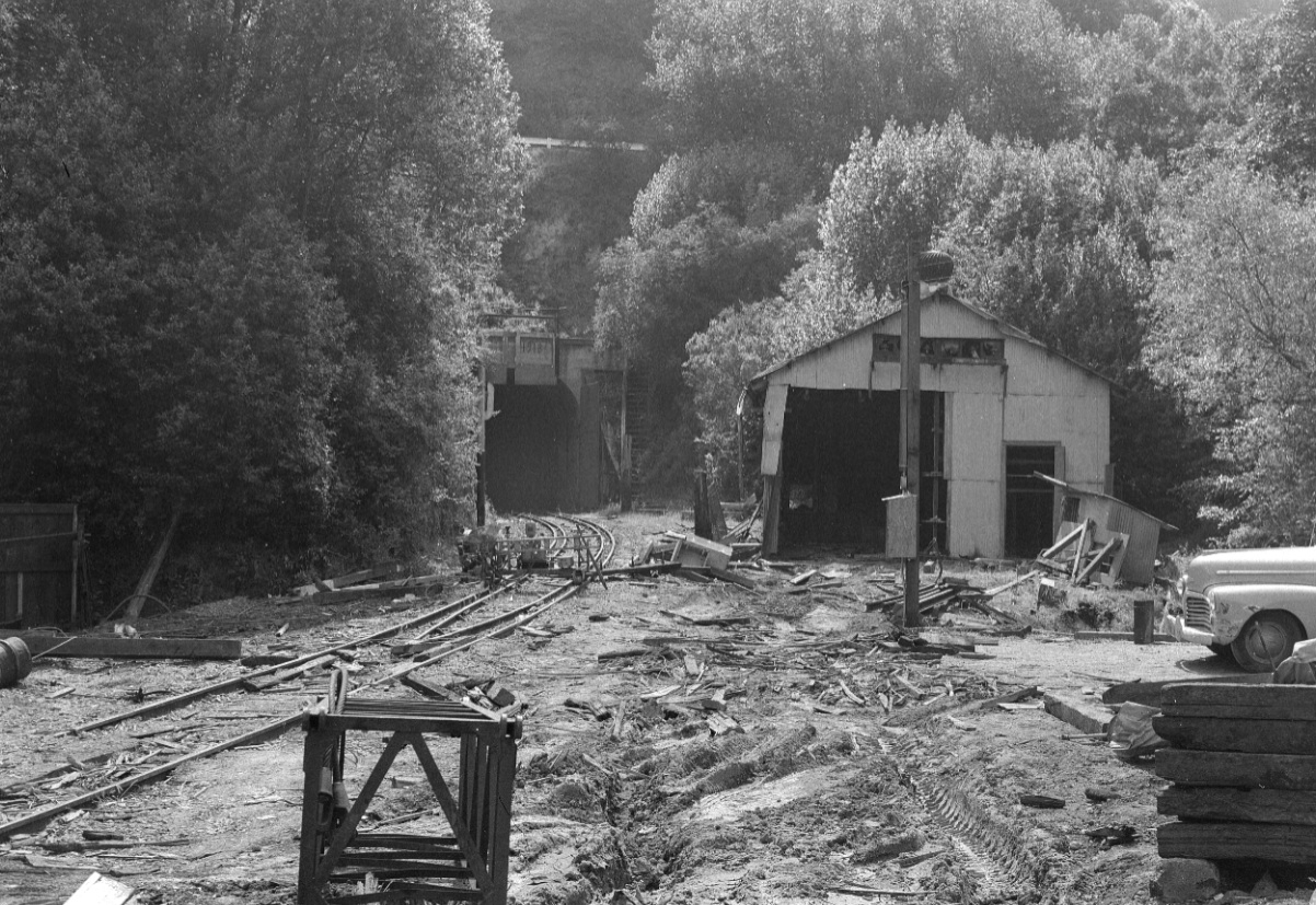
A haunting west view of Eastport seen after abandonment, April 1957.
F25-John Harder Photo, Courtesy John Harder, (Image 5 of 12)
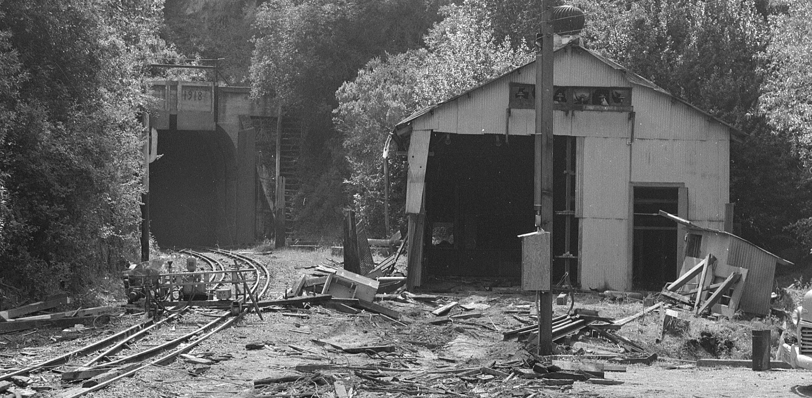
Detail of image F25, April 1957.
F30-John Harder Photo, Courtesy John Harder, (Image 6 of 12)
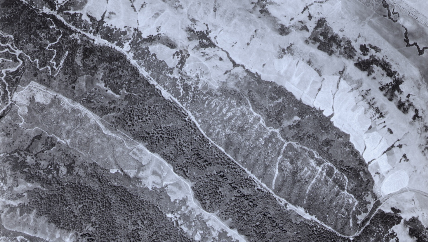
A vertical view of Redwood Canyon from late Jul., early Aug. 1939. This early image allows view of the canyon, northwest to southeast, left to right. SN passenger service is still in full swing - look for the two-car train at the southeast end of Pinehurst station. USDA Ref. BUT-BUU-283-80
F35-USDA AAA Western Divsion Laboratories, Courtesy East Bay Municipal Utility District, (Image 7 of 12)
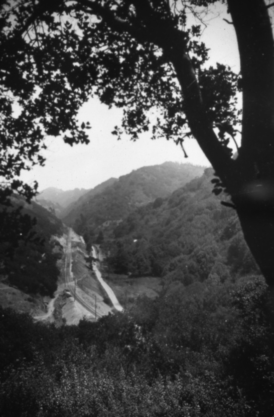
A southeast view up Redwood Canyon just south of where the SN trestle crossed Pinehurst Road up to the Wilcox flagstop.
F40-From the Collection of the Moraga Historical Society, Moraga, CA, 154A, (Image 8 of 12)
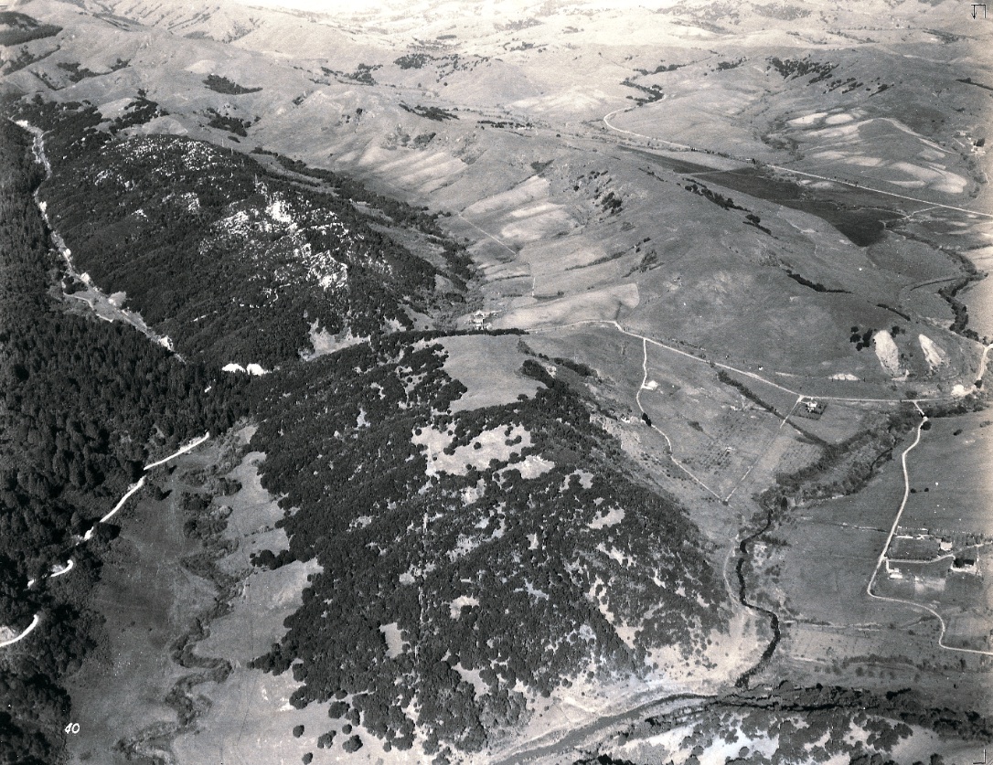
This northwest view from 1935 shows Redwood Canyon, with Indian Valley to its northern flank, and the continuation of Pinehurst Road to the south. EBRPD Ref. USNPS-11-B
F45-HJW Geospatial Inc, Pacific Aerial Surveys, Oakland CA, Courtesy East Bay Regional Park District, (Image 9 of 12)
Detail of F45 shows the site of the SN Pinehurst station and adjacent picnic area. Northwest view, 1935. EBRPD Ref. USNPS-11-B
F50-HJW Geospatial Inc, Pacific Aerial Surveys, Oakland CA, Courtesy East Bay Regional Park District, (Image 10 of 12)
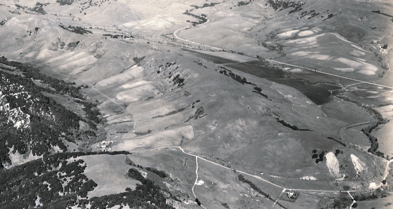
This north view panorama from 1935 shows Canyon Road appearing at Valle Vista and heading into Moraga and Moraga Way (or Highway) heading into Orinda, background. Moraga Creek can be seen emptying into Upper San Leandro Creek, lower right. EBRPD Ref. USNPS-11-O
F55-HJW Geospatial Inc, Pacific Aerial Surveys, Oakland CA, Courtesy East Bay Regional Park District, (Image 11 of 12)
Detail of F55 shows the overhead SN catenary poles snaking along and then under the Canyon Road Bridge, and, once west of Canyon Road, making the sweeping northerly turn towards central Moraga. North view, 1935. USNPS-11-B-O
F60-HJW Geospatial Inc, Pacific Aerial Surveys, Oakland CA, Courtesy East Bay Regional Park District, (Image 12 of 12)